Dragoneye Academy

You bought the drone. They kept the answers.

Come with patchy knowledge, or none at all. Leave able to run a full drone survey end to end, and to put it in front of a client in a way that wins you the next one.

What you were told

Four of the things
you'll have heard.
None of them survive
a site visit.

There are plenty more where these came from. These are the four that do the most damage.

“It has RTK, so you don't need ground control.”

RTK and PPK do a real job. What they cannot do is check the answer. Control positions your model. Checkpoints prove it. They are not the same thing, and if you only ever put out the first kind you have a number nobody has verified.

How many, where they go, and how to prove it to a client who's querying your figures. Day one.

“Two centimetre GSD, so it's a two centimetre survey.”

Ground sample distance is how much ground one pixel covers. That's resolution. It isn't accuracy, and a sharper picture is not automatically a truer one.

What actually drives the figure you can put your name to, and how to state it honestly without overpromising.

“Buy the better aircraft and it'll be survey grade.”

There is no agreed definition of survey grade. It isn't a specification, it's a phrase. The aircraft takes the pictures. What decides whether they stand up is the method around them.

What to promise, what to refuse, and how to hold that line when somebody leans on you.

“You'll need LiDAR for that.”

Sometimes, genuinely. A great deal less often than you're sold it. On an open site, photogrammetry done properly will do the job.

When it earns its place, and when it's a workflow problem wearing an expensive disguise.

We'll tell you what's wrong for nothing. Teaching you to do it right is the three days.

Flying was never
the hard part.

Nobody had much reason
to tell you the rest.

Everyone can produce this now. That really was the easy part.

They sold you the hardware and went home. If you were left to get on with it, you’re far from alone.

The part nobody teaches

We learned what a known point really is the hard way.

Incomplete information and marketing hype are hurting pilots and undermining our industry.

When we started, we read everything we could find. Most of it was vague, a lot of it was wrong, and the parts that actually mattered were often left out on purpose.

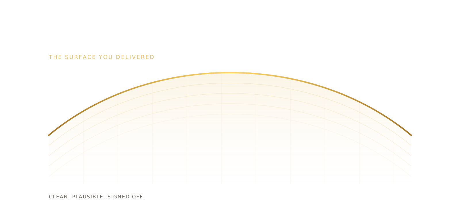
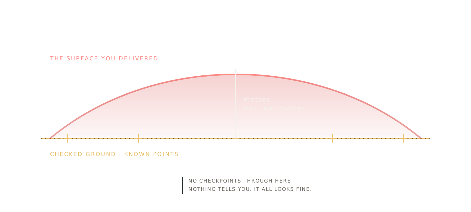
The one that cost us the most was height. Your drone measures height above a mathematical model of the earth. Your client works to a completely different surface. Get that relationship wrong and you aren’t out by centimetres. You’re out by metres. The terrifying part is that everything will look perfectly normal while you make the mistake.

That single misconception sits behind more disputed surveys than anything else we’ve come across.

That’s why at Dragoneye we don’t do partial training. We teach every single aspect of the job, holding nothing back. We want you to have the truth on your very first morning, so you never have to earn the scars we did.

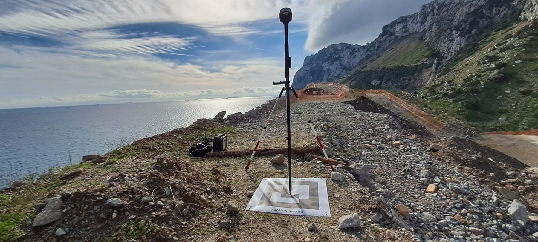
It's the method behind the surveys we deliver on live quarry and construction sites every week, for clients who check our numbers. There's nothing in it you can't do yourself. You just have to be told the parts nobody tells you.

Jeremy Bedingfield · Dragoneye

Why we do this

Do it properly and you are
already ahead of nearly
everyone you're bidding against.

Not because they're careless. Because they believed what they were told. If you understand ground control, know which datum you're working to, and can hand over a figure and say exactly how you checked it, you're doing something most operators genuinely can't. On work that repeats, that isn't an edge. It's the business.

We think drone survey should be something you can stand behind. Every disputed survey makes the next client warier, and it's the honest operators who pay for that. This industry doesn't need more equipment. It needs more people who were taught the whole thing. You get a business you can defend. We get an industry worth being in.

What we actually do

Three days on the things
that decide the answer.

Nine modules, three each morning, and every single afternoon outside with the kit doing what you learned before lunch. You'll enjoy it more with some stick time behind you, because we won't be spending three days on airmanship.

01

Workflow, end to end

Planning, capture, control, processing, deliverable. Not separate topics, one chain where every decision changes what's possible later.

02

The bits that go wrong

Datums and heights. Control against checkpoints. Why a surface bows when nothing looks wrong, and how to catch it before your client does.

03

The client conversation

What to promise and what not to. How to state an accuracy honestly, and what to do the day somebody questions your numbers.

04

What to charge

The part nobody covers. What you're really selling, why it's worth more than flight time, and how to price so the business survives year one.

There are one day survey courses out there.
This isn't one.

We won't spend three days touring capture apps either. Knowing why a surface goes wrong is the part that still works on whatever you fly next.

And then

Learn to do it right.
We'll take care of the rest.

The craft is the craft whatever you process it with, and that's what these three days are about. But there's a second wall waiting once you can capture properly, and it's the software. Learning GIS well enough to produce something a client will accept is months of work on its own, and it stops a lot of good operators before they start.

You won't need to. Dragoneye turns what you captured into the deliverables, and it's pay as you go, so it costs you nothing in the months you don't fly. That isn't what this course is about and we won't spend three days selling it to you. It's simply why people leave here able to quote for work the week after.

Who comes on this

Two very different reasons to be here.

You're building your own thing

You've bought the kit and you're serious. What you want is to walk onto a site knowing exactly what you're doing, produce something you'd put your name to, and charge properly for it.

We were you, and not that long ago.

You're building a team

You're bringing survey in house to take out cost and delay, and what keeps you awake is a team producing numbers a client disputes. Trained properly, on one method, that risk largely goes away.

Group bookings are invoiced. Just ask.

Book your place

Pick a date that suits.

We keep the groups small on purpose, so everyone gets proper time on the kit and plenty of the instructor’s attention. It does mean that once a course fills up that is genuinely it, so if a date suits you it is worth grabbing it.

Straight answers

The questions we get asked most.

Who is this course for?

People who mean to make a living from this. Some arrive with a drone and a few jobs behind them, some have never flown a survey at all, and both work fine. What we do assume is that you want to run it as a business rather than as a hobby.

What will I be able to do by the end of it?

Run a survey from planning through to a deliverable you'd be happy handing to a client, and explain every decision you made along the way. That second part is what wins you the next job.

Do I need my own drone?

Come anyway. You'll be flying ours on the practicals, and you'll leave with a much clearer idea of what to buy and, just as usefully, what you don't need.

Do I need a GVC or A2 CofC to come?

You'll want one, yes. We teach surveying, not the flight qualification, and you'll need the relevant CAA award before working commercially. Come with the licence and some stick time behind you and you'll get far more out of the three days.

What do I get at the end?

A certificate of completion, and more usefully a method you can use on the Monday. To be plain about it, that certificate is not a CAA qualification and we would never suggest it was. Flying commercially needs a GVC or A2 CofC, and those come from elsewhere.

How many people are on a course?

Eight at most. Every afternoon is practical and it stops being practical beyond that, so we'd rather run another course than pack this one.

Do I need to know QGIS or any survey software?

No. Learning GIS properly takes months and it stops a lot of capable people before they start. We teach you to capture and control the job correctly, and Dragoneye produces the deliverables from it. If you'd rather use something else, everything you learn still applies.

Those are the questions about us. Below are the ones almost everybody arrives with, and they are the reason the course exists. Short answers here, honestly given. The how, the when and the why is the three days.

Do I need ground control points if my drone has RTK?

Not always for positioning. Always for proving it. That distinction is the entire answer, and it is the thing most people are told wrong. How many, where they go, and how you stand behind the result when a client queries it, is day one.

Is GSD the same as accuracy?

No, and it isn't close. One is resolution, the other is how near your measurement is to the truth on the ground. Plenty of people quote the first while meaning the second, usually without knowing they are doing it. What actually moves the accuracy figure is what the three days are for.

How accurate is a drone survey, really?

Centimetre level is realistic when the method is right, and typically one to three centimetres. The honest part of the answer is that it depends almost entirely on how the job was set up, so the number on its own tells you very little. Being able to give a figure and the reason behind it is what separates a survey from a nice picture.

Do I need LiDAR?

A great deal less often than you are sold it. It is the right tool in specific conditions and an expensive mistake outside them. Knowing which job is which will save you more than the course costs, so we would rather cover it properly than in a line here.

What should I charge for a drone survey?

More than most people starting out do. You aren't selling flight time, you're selling a measurement somebody will make decisions with, and those two things are not worth the same money. We cover pricing properly, because pricing badly is the fastest way to end a promising business.
Talk to a person

Not sure it's the right course for you?

Tell us what you're surveying and what you're stuck on, and we'll tell you honestly whether this will help. If it won't, we'll say so.

academy@dragoneye.app